
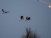
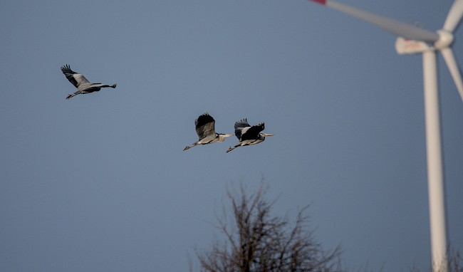
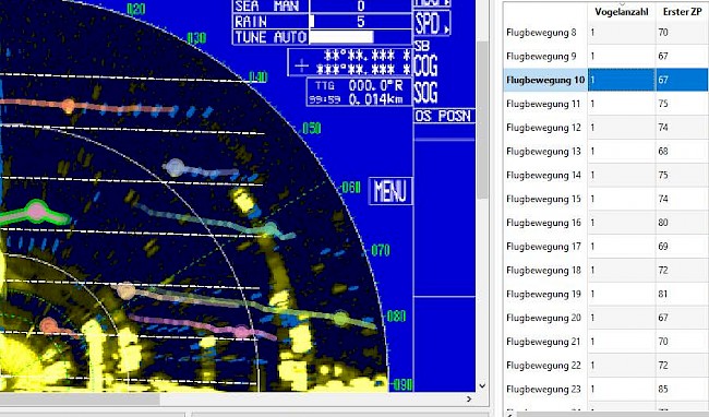
Infrastructure projects in the countryside, such as high-voltage lines and wind power plants, often require ornithological monitoring to foresee their effects on the local wildlife. Typically, birds colliding with power lines are collected or visual recordings of bird migration during daylight are made. In recent years, the use of radar technology – such as marine radars – has also become increasingly common. The usage of radar technology enables tracking of birds at high altitudes even at night – when most bird migration takes place – and over extended periods of time. To be able to analyze and process the large number of radar images produced, VRVis has developed a tool for automatic bird tracking and visualization from marine radar imagery. A specially programmed bird tracking algorithm for vertically recorded radar images extracts certain parameters such as flight direction, height, and duration from the images to visualize bird tracks.
This project was implemented as part of a feasibility study by the Biomedical Image Informatics research group in cooperation with coopNatura, Büro für Ökologie und Naturschutz, and already received an Honorable Mention at the VCBM conference 2019 in Brno (Visual Computing for Biology and Medicine).