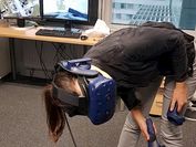
Together with the Austrian Armed Forces, the Multiple Senses research group implemented the project "Visual Analytics in the Milgeo Area", which was presented at the information and performance show on the occasion of the National Holiday. On 25th and 26th October, the cyberforces presented the VR application at "Am Hof", to show the visitors the latest in cyber security, 3D and VR geography.
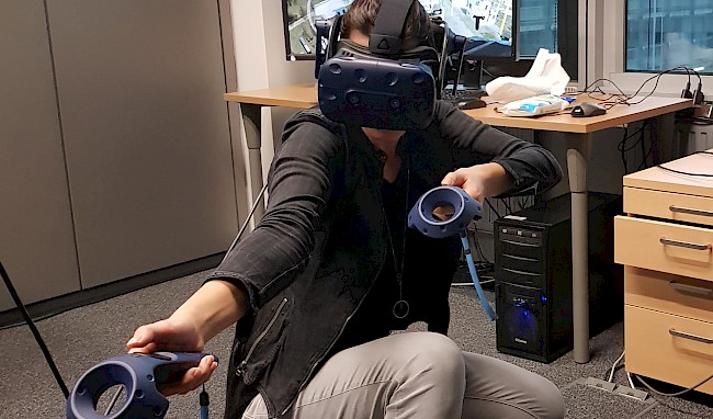
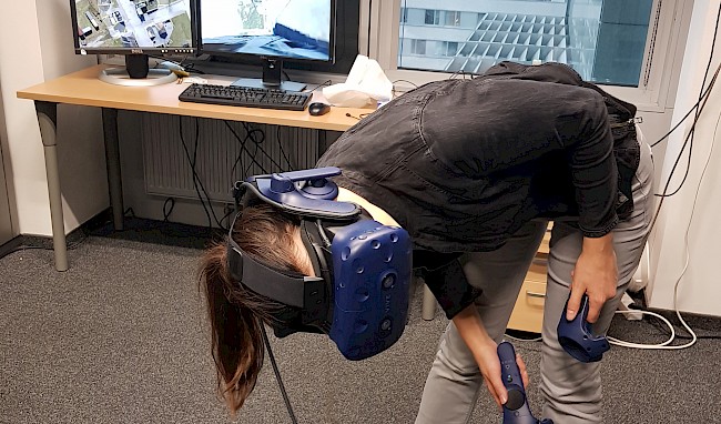
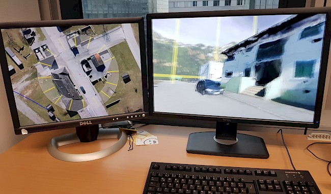
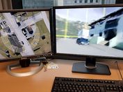
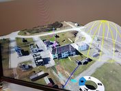
The Virtual Reality application enables users to move through various reconstructed areas. The scene is reconstructed from satellite images, photos or other high-resolution images. In two possible views (First-Person and Birds-Eye) the users can move through the VR simulation. The terrain can be assessed from a bird's-eye view ("flying above"), as can it be scouted through "teleporting into" terrain key points. The user can then walk through the landscape on a scale of 1:1, as if he or she were directly on site. Now the user can familiarize himself/herself with the surroundings and, for example, look around the corner of buildings, look from a house roof onto the street below. Also real distances can now be better estimated.
This VR application is not just a tool for pure exploration, it is in particular a tool for deployment and mission planning. Users can measure, mark and annotate as well as perform precise visibility calculations for shot fields. The simulation of environmental conditions such as fog, position of the sun etc. is also included.
This virtual reality application is an important application that offers several advantages for remote sensing and mission planning: