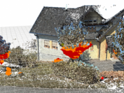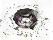


Since the amount of data that could potentially be used in commercially available GIS, BIM and light planning systems (planning data, laser scans, photogrammetry, traditional surveying instruments etc.) continuously increases, the complexity involved in processing and manipulating this data in a common context has already reached a level that is impossible to tackle with traditional approaches. We therefore strive for the development of a novel system that allows for dealing with extremely large amounts of heterogeneous, distributed and evolving (over time) geodetic data and simulated light data in a holistic, dynamic environment. The following aspects receive special consideration:
Former Head of Geospatial Visualization, Semantic Modelling, and Acquisition, Geospatial Visualization, Semantic Modelling, and Acquisition Group
Start: 01.2017
End Date: 12.2020
Zumtobel, rmDATA, ÖBB

