
As part of "Spot:On", the project partners produced a teaser video showing their vision and giving the public an insight into the current status and the tools used: Dynamic robot technology (Spot) and augmented reality glasses (Hololens 2). The video introduces these using a simple work assignment for Spot: Across rough construction site terrain, the robot dog transports AR glasses from the planner to the investor so that the latter can take a look at the finished building using an augmented reality hologram. The video shows how agile the robot dog is and how naturally it fits into the construction site processes. This is the starting point for the three companies' joint project to thoroughly intertwine digitalization, augmented reality, robotics technologies, and engineering for the construction site of the future. To be continued!
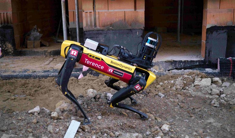
Together with Rhomberg Bau GmbH and convex ZT GmbH, VRVis is developing a concept for the use of Boston Dynamic's robot dog "Spot" for autonomous, immersive construction site documentation.
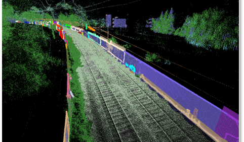
The Rail4Future project is focusing on the design of a digital rail system for the future. To this end, a novel and fully virtual validation platform for large-scale simulations of entire rail lines is being developed to increase the efficiency of existing rail infrastructure.

The research goal of AMASE is to create a suite of tools and methods to ingest, process, visualize, and manipulate heterogeneous, large-scale geospatial data. This data is the constantly updated representation of the real world in the form of an evolving digital twin.
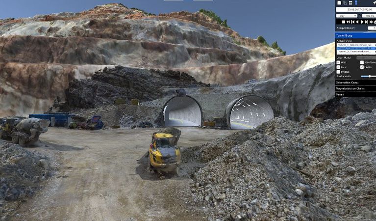
The main goal of this project is to enable a reliable decision support for large-scale infrastructure projects by providing solutions for a collaborative visual analysis of digital twins.
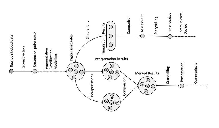
The main objective of the strategic project ARCS is the design of software architectures that enable interactive visualization systems to ingest large volumes and velocities of geospatial and associated non-geometric data.
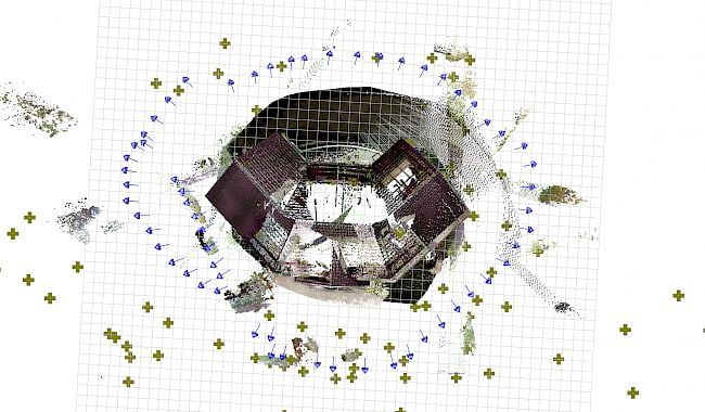
In this project tools and methods for handling, administration, manipulation and evaluation of several different data sources for measurements and lighting design are developed.
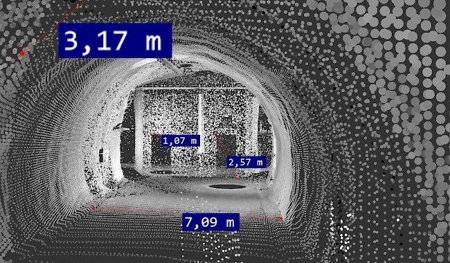
Visualization and visual analysis of high-resolution surface reconstructions find a wide range of applications, from tunnel monitoring and archaeological excavations to the change management of cultural heritage buildings.
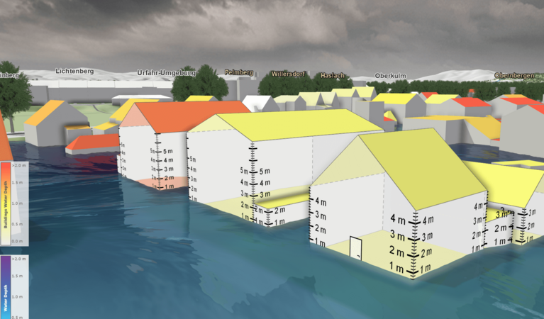
The goal of HORA 3D is the development and maintenance of a publicly accessible web application for object-related visualization of the results of the HORA 3 research project.
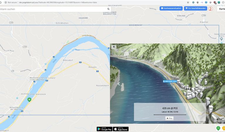
viscloud's hydrodynamic simulations provide precise water level predictions at any point on a water surface in the "PegelAlarm" app.
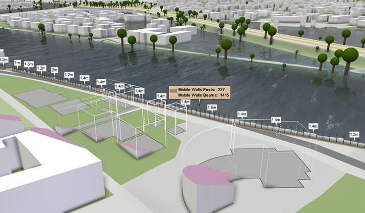
For many years we have been dealing with all aspects of hydrodynamic modelling. With our software viscloud we can model different scenarios and also offer this as a service.
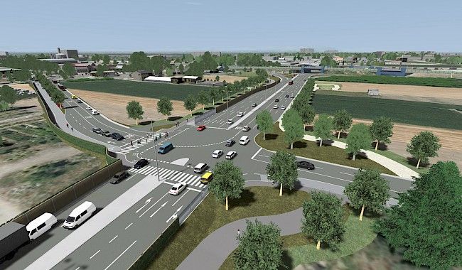
Research project on powerful visualization methods to support decision making in complex infrastructure projects, especially in tunnel, railway and road construction.
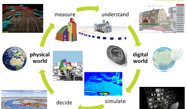
Digital representations of the real world and digital twins are becoming increasingly important for planning, situation assessment and decision-making.